Services
Boundary Survey
Deed Research, Setting Rebar as Corner Monuments. A recordable plan that can be permanently filed in the County Registry of Deeds.
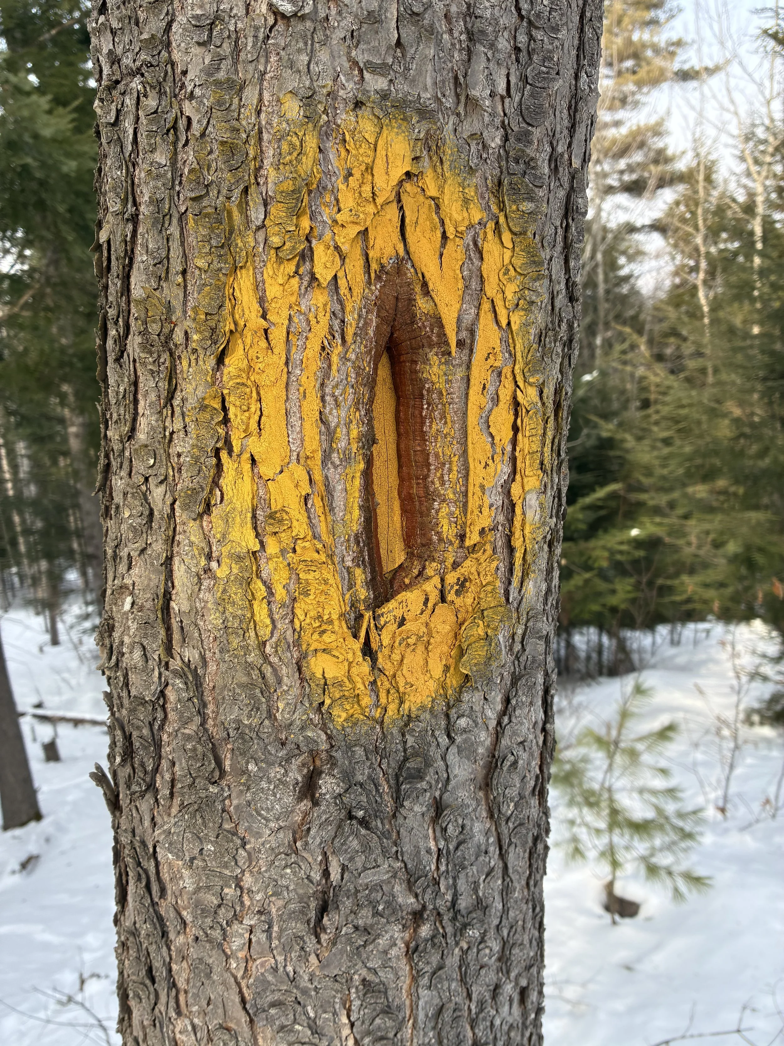
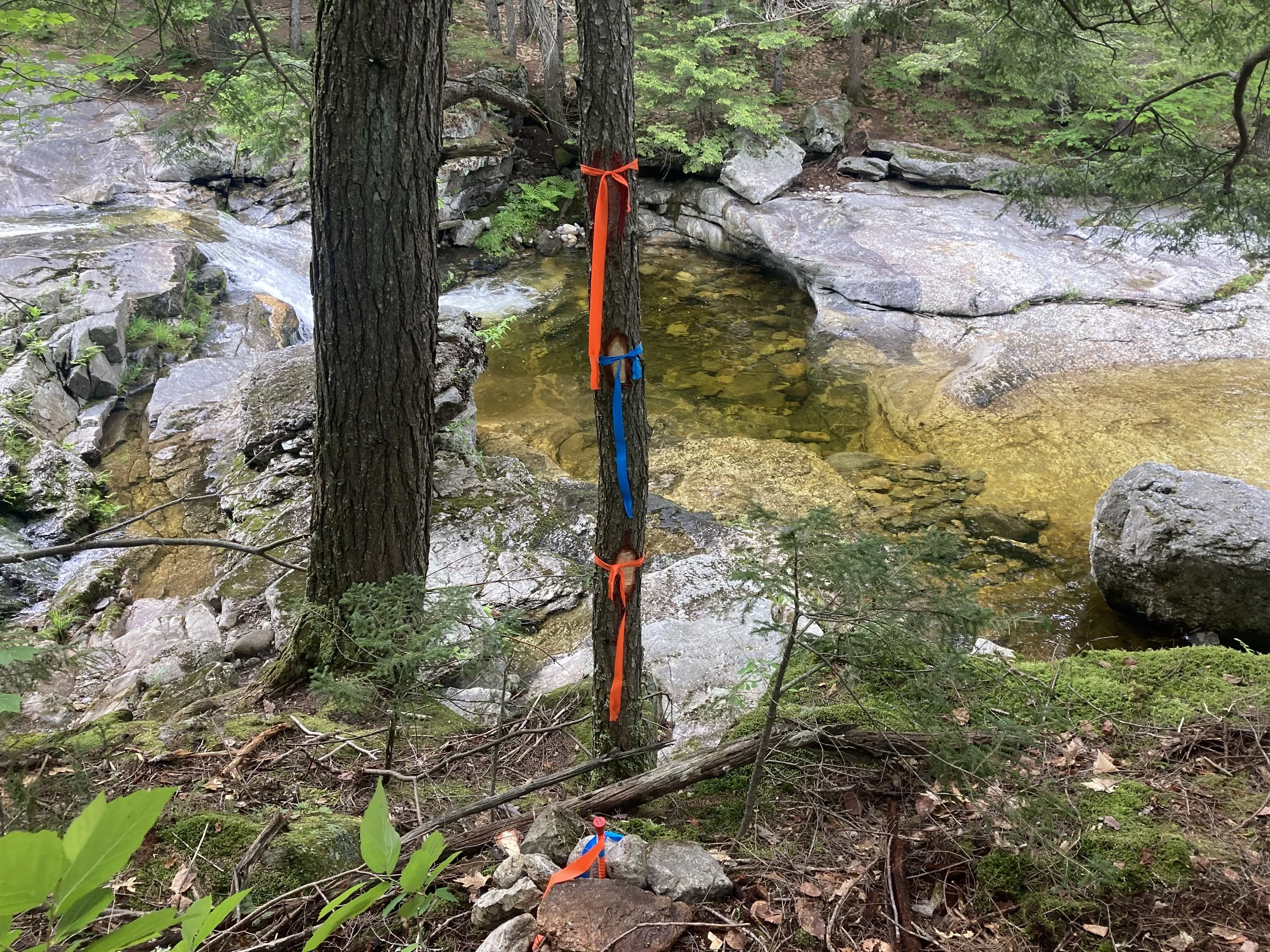
Boundary Line Maintenance
Physical boundary marked after completion of survey. This can be done with blazing and painting or plastic flagging.
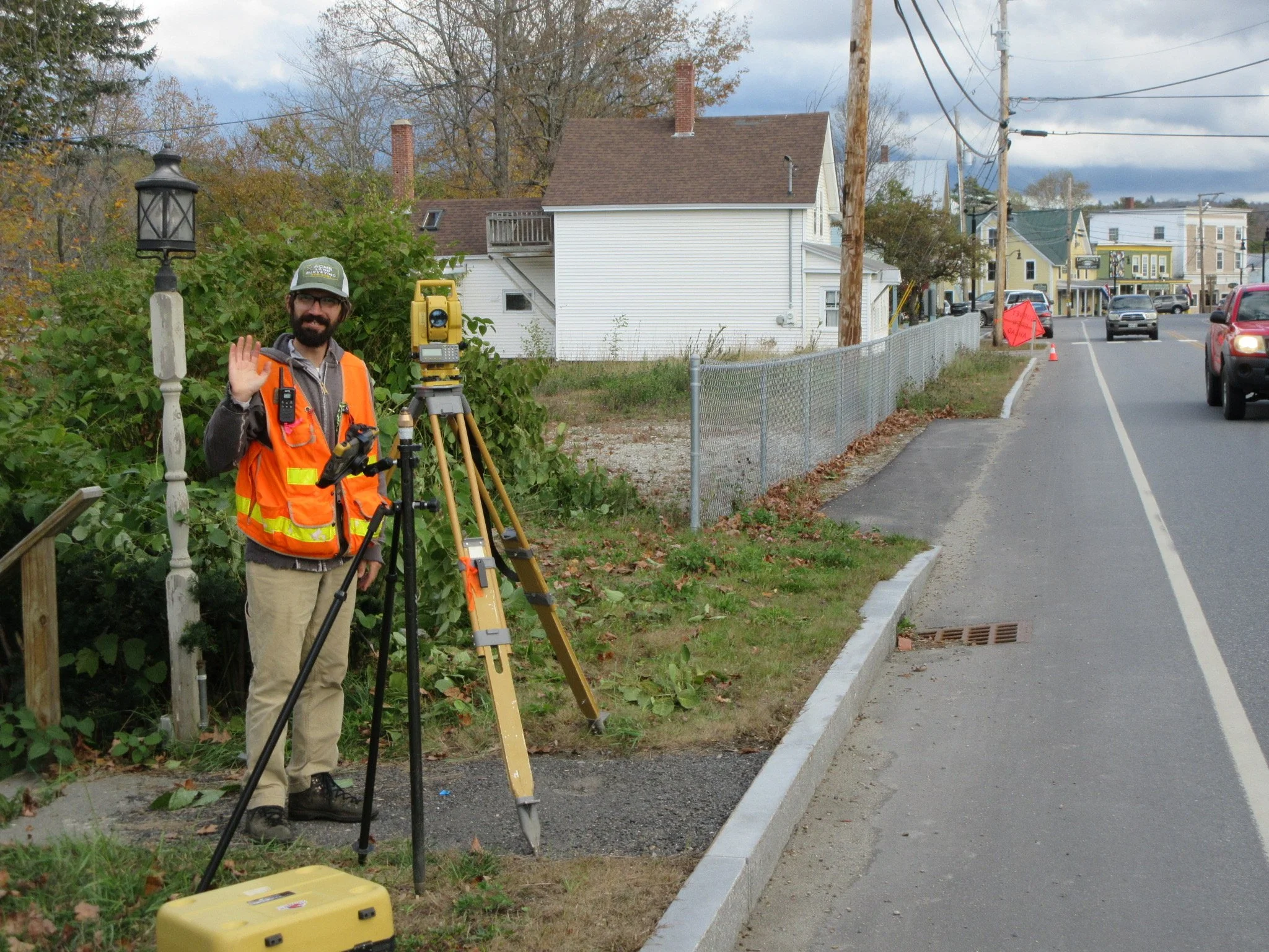
Topographical Survey
A “topo survey” is a detailed mapping of the natural and man-made features of a piece of land. This includes things like elevations, contours, bodies of water, vegetation, and man-made structures. Topographical surveys are used in a wide range of industries, from construction and engineering to land development and real estate.
Other Common Services
Elevation Certificates & LOMAS
Deed Research
Subdivision Plans
ALTA/ACSM Land Title Surveys